Planetary Coral Reef Expedition (Research)
Our Vision
To stop the destruction of the world’s coral reefs by 2020 and restore their beauty, health and abundance within this century.
Planetary Coral Reef Foundation (PCRF) is a project of the Biosphere Foundation. Since its inception in 1991, PCRF pursued an unprecedented global mission to preserve coral reefs through innovative programs in science, education and technology. To view the original web page that hosted the findings of this expedition, please see www.pcrf.org.
In 2008, PCRF completed its fourteenth year of an expedition at sea dedicated to monitoring offshore coral reefs around the world, which resulted in a finding that two-thirds of the reefs were at risk. The site below contains all the data from these forty-nine coral reef studies.
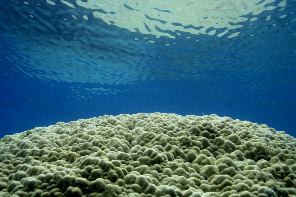
Our work from 1995 to 2008
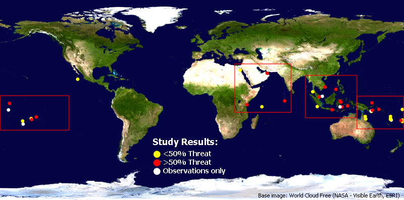
Interactive map of the world with the 49 coral reef sites that PCRF conducted research in. Click on the white concentric circles to zoom in to see individual data points.
Science Methodology During the Expedition:
One of the major components of the PCRF archive of reefs around the planet comprises a video and photo library of footage taken along carefully laid transect lines. Video transects was done up to the year 2004 and image transects taken after that date. A review of the methodology for each method is described below. These transects have been analyzed using Poincount and are now archived with PCRF and at the College of Charleston.
(A) Image Methodology – since June, 2004
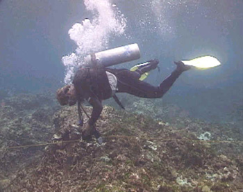
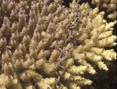
Mark lays the chain for the video transect work,
Kavieng, Papua New Guinea
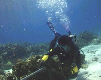
At least three digital still image transects are conducted in each zone of every study site (ie. shallow and deep or inside and outside of an atoll lagoon). Divers descend with two weighted buoys labeled A and B, measuring tape, a digital still camera, underwater writing slates, and pencils. Transects locations are chosen based on sites that are representative of the entire reef ecosystem. A 20 meter line is laid between 5-10 meters deep along the bottom contour with the buoys at both ends. A bearing is taken from buoy A to buoy B and the boat tender takes GPS coordinates at both buoys. Two lines of digital still images are taken two meters on either side of the central line. Each line consists of 30-50 digital still images, which are taken 40-50 cm above the reef. A total of approximately 600 images are taken within the entire study site. Coral identification to genus level, and species level when possible, is done within the 80 m2 zone, running 2 meters either side of the center line. Fish identification, including a species and population count is done in the area surrounding each transect to a maximum depth of 15 meters. Both coral and fish identification are done for 45 minutes during each transect dive. Secchi disk readings for visibility, cloud cover and sea state are also recorded for each transect dive.
 Transect images are analyzed using PointCount 99, developed by Phil Dustan at the College of Charleston. PointCount 99 generates 10 random points on each transect image. Each of these points is then labeled live coral, dead coral, other, which includes rubble, rock, sand, and soft coral, and unidentifiable data point. The data is then imported into a spreadsheet and can be analyzed to obtain the percent cover of each of the categories listed above.
(B) Video Methodology – Prior to June, 2004
Sites for filming are selected around the reef that will give a fair representation of the bottom cover, species diversity and state of health of the reef. Unless it is truly representative of the diversity of hard coral species found on the reef, monospecific patches are avoided for video work. When the sites have been earmarked as suitable for filming, a team of five or six divers prepare themselves for filming an underwater transect.
First, two metal pins must be secured in the substrate – dead coral or rock. These pins are used to secure two lengths of PVC pipe which will mark 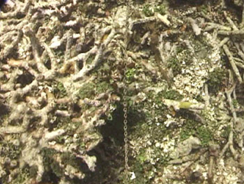 the start and finish lines for the transect. The distance between the PVC pipes is measured to 22 meters. Three strings are then tied from one PVC pipe to the other and parallel to each other. These strings are about a meter apart. They act as a guide for the next step, which is to unravel a roll of light chain from one pipe to the other. The chain is dropped gently onto the corals beneath, brushing gently against the strings to keep a straight line. The strings become especially crucial in helping to lay the chains straight if there is surge or current. Once the chains are safely laid, the strings are removed and the transect lines are ready to be filmed.
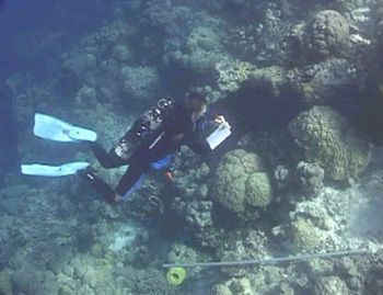
Sean draws a map of the transect area
The videographer then passes over the transect lines, at a steady speed and keeping a constant distance between the camera lens and the contour of the reef beneath. Each line is ‘slated’ for subsequent identification.
Eddie secures the PVC pipe
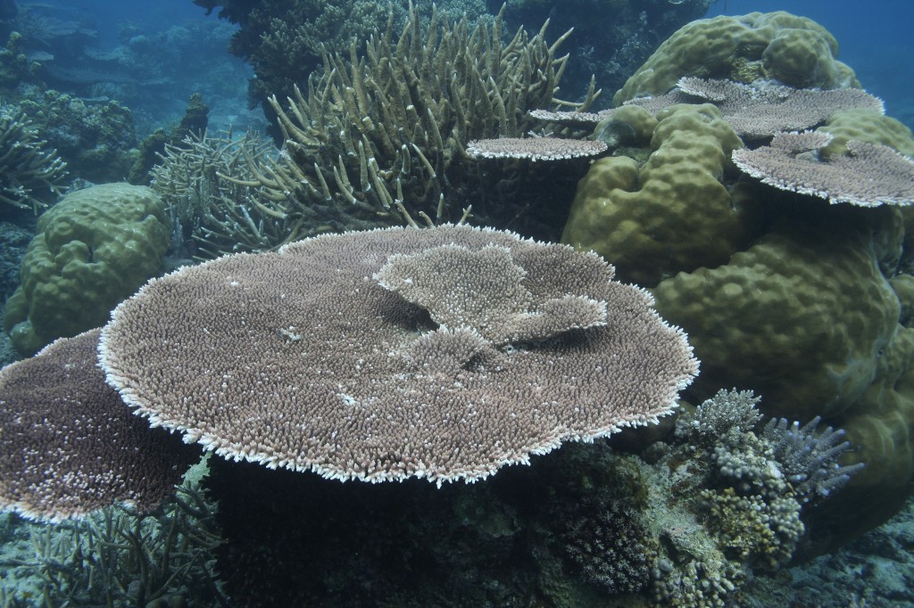
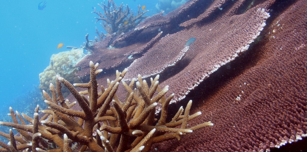
Details from transect results showing healthy table Acropora colony on left and dead colony overgrown by macro algae on right While the videographer is at work, the mapping team take a series of readings to enable finding the sites of the transect pins in the future. GPS coordinates are taken from the water’s surface directly above each of the two pins together with compass readings towards three visible landmarks eg. tip of an island, distinctive building on land etc. And underwater, a diver maps the topography surrounding the location of the transect pins.
When all tasks have been completed, the chains are carefully wound back onto their spools, the PVC and steel pins removed and all equipment returned to the research vessel.
Each frame of underwater video can be analyzed using specific computer programming to give statistical information about the composition and state of health of the reef. Since 1995, almost 30 hours of underwater transect video has been gathered, amassing nearly 3 million frames of video documentation.